
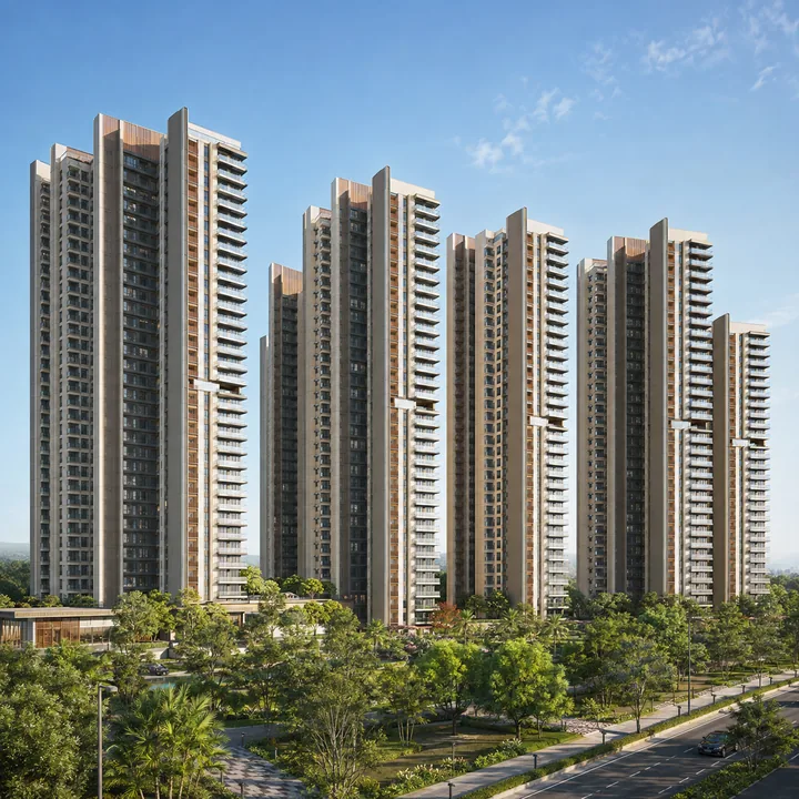
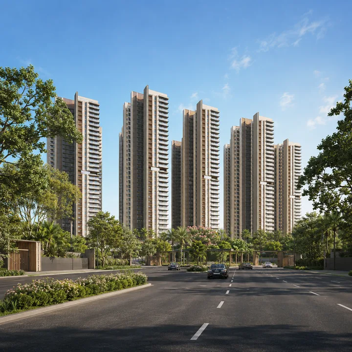
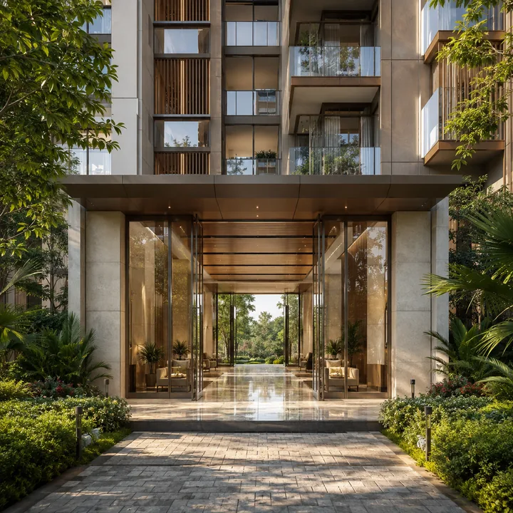
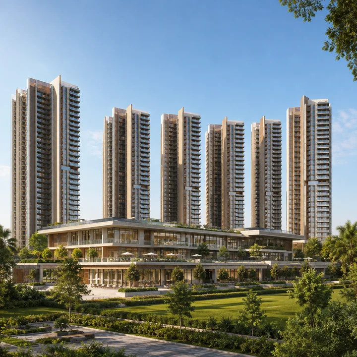
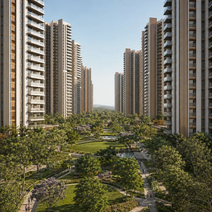
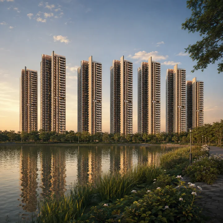
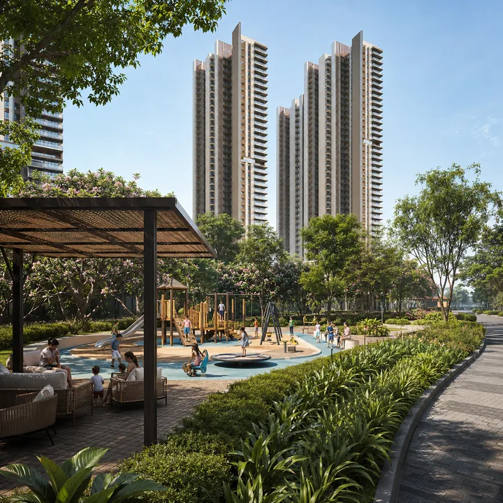
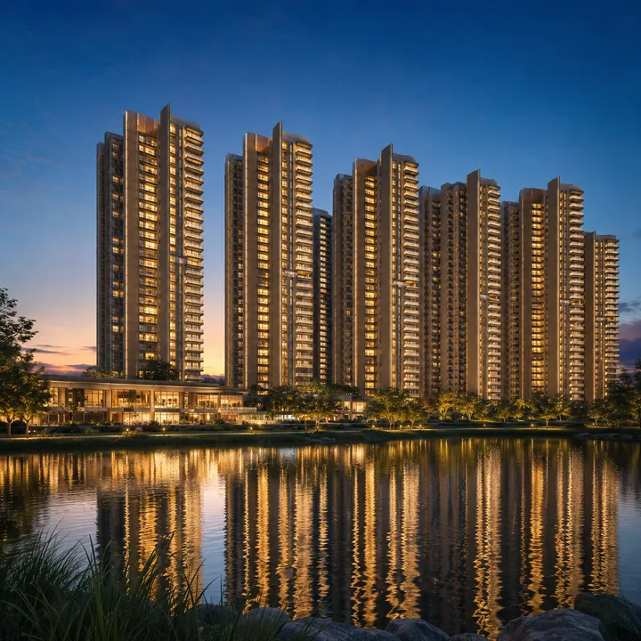
The aerial frame: seven towers on 13.19% of thirty acres
The single most useful image this project can produce is the one taken from directly above. The development area is 1,21,758.77 sq m — 30.09 acres — and the planned ground coverage is 13.19%. Multiply those and the building footprint comes to roughly 16,060 sq m, or just under four acres. That is the number the aerial shot has to communicate: seven towers, lettered A through G and subdivided into fifteen wings, standing on less than a seventh of the land they sit on. Everything else in the frame is landscape, driveway, open space and civic amenity.
Note that the total land area is itself unreconciled between the two source documents — the pre-launch information in circulation records 30.66 acres, the application form records 11.6321 hectares, or 28.74 acres. Both are disclosed here rather than averaged. The unit count carries the same ambiguity: 2,075-plus in one document, 2,359 in the other, with the current figure marked "Not Available". The aerial view will settle neither, but it will show the proportion, and the proportion is what matters visually.
| Land use (Revised ToR) | Share | Approx. area |
|---|---|---|
| Landscape | 40.9% | 49,829.28 sq m (12.31 ac) |
| Driveway | 26.9% | ~32,750 sq m |
| Ground coverage (buildings) | 13.19% | ~16,060 sq m |
| Park and open space | 10.00% | ~12,176 sq m |
| Civic amenities | 5.21% | ~6,344 sq m |
| Services | 3.85% | ~4,688 sq m |
Read as a photograph, that table produces a green plate with seven pale forms set into it and a dark band of water along the bottom edge.